GeoAlgeria
Interactive Map of Algeria
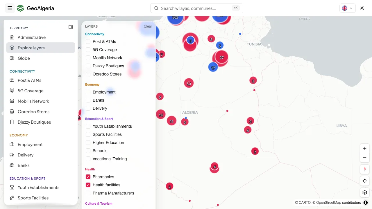
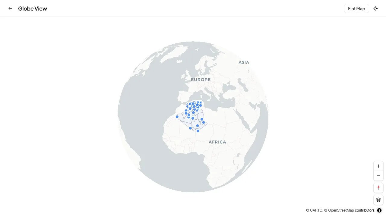
An interactive, bilingual map of Algeria covering all 69 wilayas and 1,541 communes plus 20+ installable open-data layers, built on MapLibre GL and backed by an npm-installable open dataset.

What I was solving
Every public dataset for Algeria was out of date and hard to build on. Most were still stuck at the old 48 wilayas even though the country moved to 69 after the 2019 and 2025 reforms, postal codes were missing or invented, and almost nothing carried real coordinates or Arabic names. There was no single source that was current, correct, and installable straight into a developer's project.
How I approached it
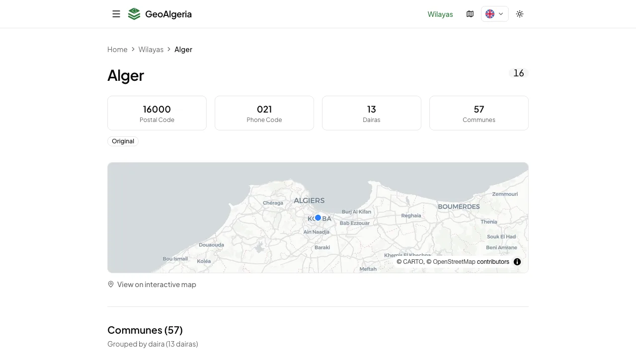
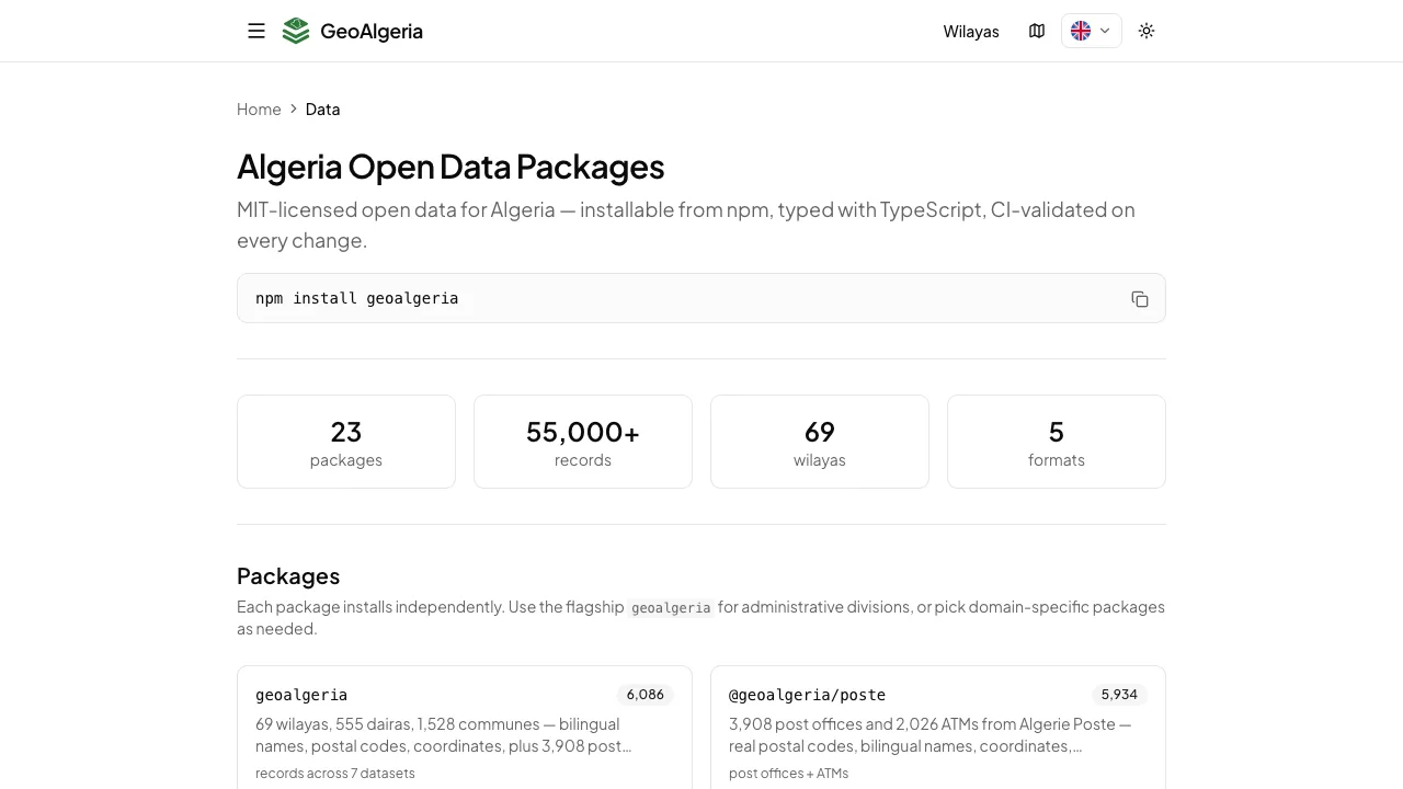
GeoAlgeria is two things in one: an open dataset and the map that renders it. The data ships as MIT-licensed, CI-validated packages you can pull straight into a project with npm install geoalgeria, in JSON, CSV, GeoJSON, SQL or TypeScript. The site generates a page for every one of the 1,610+ wilayas and communes, and each sector (post offices, ATMs, 5G, banks, schools, mosques, transport and more) gets its own map with point and heatmap views. A single search understands both French and Arabic, the whole site is mobile-first and fully trilingual with right-to-left support, and a comparison view shows exactly where it beats the datasets that came before it.
Built With


Impact & Outcomes
69
Wilayas, 1,541 communes mapped
20+
Open-data map layers
55,000+
Records in the dataset
23
npm-installable packages
1,610+
Static pages generated
MIT
Open-source, CI-validated
Have a map or data product in mind?
Let's build it.
Tell me what you're working on and I'll get back to you within 24 hours.
Tell me what you need


